- Home
- Getting Around Malta
- Malta Beach Bus Routes
Malta Beach Bus Routes
Bus Routes To Beaches In Malta And Gozo
Use this guide to find which buses serve beaches across Malta and Gozo. Each beach entry follows the same simple format:
- Location: Where the beach is located
- To Bay: Bus numbers and the most useful bus stop
- From Valletta: How to reach the beach from Valletta
- To Valletta: How to return to Valletta
Where necessary, we also explain if you need to walk from the bus stop or if there is no direct public transport. If travelling by bus does not suit your plans, see other ways to get around Malta.
 Malta beach bus routes guide
Jump To Beach Bus Routes
- Sandy Beaches - Malta
- Sandy Beaches - Gozo
- Sandy Beaches - Comino
- Rocky Beaches - Malta
- Rocky Beaches - Gozo
- Frequently Asked Questions
Find Beaches by Bus Route
Looking for a particular bus number? Use this quick guide to see which beach areas it can help you reach.
- Bus 41 / 42: Mellieħa Bay (Għadira), Mistra Bay and the Armier area
- Bus 44: Għajn Tuffieħa area
- Bus 101: Għajn Tuffieħa and seasonal service towards Ġnejna Bay
- Bus 221 / 222: Mellieħa Bay (Għadira), Mistra Bay and northern beach areas
- Bus 223 / 225: Għajn Tuffieħa area
Continue to the beach directory below for the nearest stops, walking information and other available bus routes.
🚌 Before you travel: Bus routes, times and temporary diversions can change. Use this page to find the buses that serve each beach, then check the Malta Public Transport Journey Planner for the latest route, stop and departure information before setting off.
Bus route information last checked: August 2026
✍️ Written by Albert and Benjamin Magro, Malta locals sharing practical advice based on living on and exploring the islands.
Sandy Beaches - Malta
Malta has a good selection of sandy beaches, from large, popular bays with easy access to smaller coves that may take a little more effort to reach.
Armier Bay
What to expect: A relaxed northern sandy bay with clear water and open views towards Comino and Gozo.
- Location: Limits of Mellieħa
- To Bay: 49 — use Armier bus stop. Routes 41, 42, 101, 221, and 222 also serve the Ahrax bus stop, then walk to Armier.
- From Valletta: 49
- To Valletta: 49
- Beach guide: Armier Bay
Balluta Bay
What to expect: A small urban beach surrounded by the busy Sliema and St Julian’s seafront.
- Location: Between Sliema and St. Julian's
- To Bay: 13, 13A, 14, 16, 110, 202, 211, 212, 222, 225, 233, N13, N212
- From Valletta: 13, 13A, 14, 16
- To Valletta: 13, 13A, 14, 16, N13
 Balluta Bay sandy urban swimming
Għajn Tuffieħa Bay
What to expect: A scenic sandy bay below steep steps, surrounded by natural slopes on Malta’s north-west coast.
- Location: Limits of Mġarr, also known as Riviera
- To Bay: 44, 101, 223, 225 — use Tuffieha or Riviera bus stop
- From Valletta: 44
- To Valletta: 44
- Explore this beach: Għajn Tuffieħa Bay
Ġnejna Bay
What to expect: A sheltered sandy bay backed by countryside, with rocky swimming areas on both sides.
- Location: Limits of Mġarr
- To Bay: 101 — summer service
- From Valletta: Take 44 to Mġarr, then change to 101 for Ġnejna Bay.
- To Valletta: Take 101 to Mġarr, then change to 44 for Valletta.
- Beach guide: Ġnejna Bay
Golden Bay
What to expect: A broad sandy beach popular for swimming and sunsets, with facilities close to the shore.
- Location: Limits of Mellieħa
- To Bay: 44, 101, 223, 225 — use Tuffieha bus stop
- From Valletta: 44
- To Valletta: 44
- Read more: Golden Bay
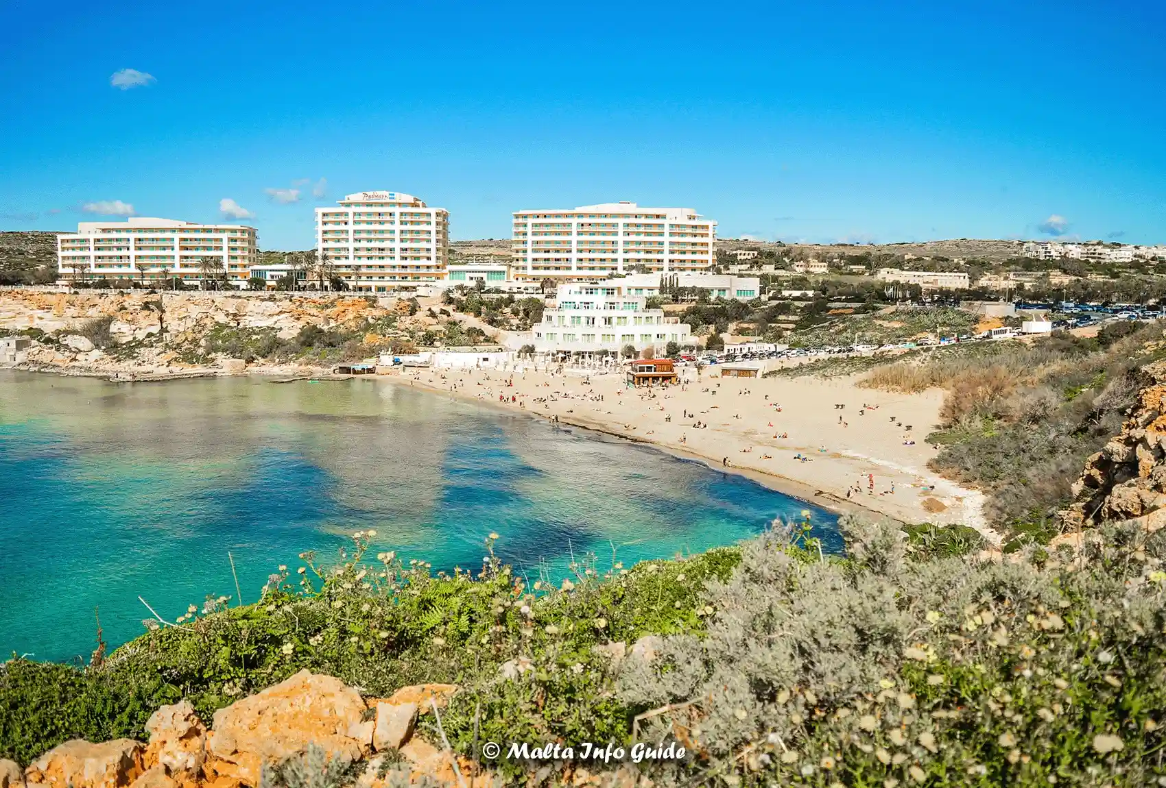 Golden Bay beneath resort hotels
Mellieħa Bay
What to expect: Malta’s largest sandy beach, with a long shoreline and shallow water popular with families.
- Location: Għadira, Mellieħa
- To Bay: 41, 42, 49, 101, 221, 222, 250, X300 — use Għadira bus stop
- From Valletta: 41, 42, 49, 250, X300
- To Valletta: 41, 42, 49, 250, X300
- Explore this beach: Mellieħa Bay
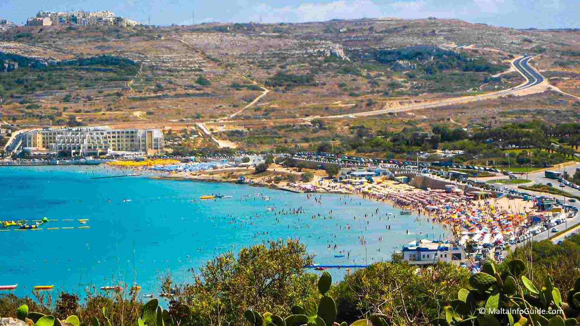 Mellieħa Bay sweeping sandy shoreline
Mġiebaħ Bay
What to expect: A small, secluded sandy cove reached through the quieter countryside around Selmun.
- Location: Selmun, limits of Mellieħa
- To Bay: No direct public transport goes to Mġiebaħ Bay.
- From Valletta: No direct bus goes to the bay.
- To Valletta: There is no direct bus from the bay
Mistra Bay
What to expect: A sheltered coastal bay with a small beach in a quieter setting near Xemxija.
- Location: Mistra, near Xemxija
- To Bay: 41, 42, 49, 221, 222, 250 — use Mistra bus stop, then continue on foot towards the bay.
- From Valletta: 41, 42, 49, 250
- To Valletta: 41, 42, 49, 250
Paradise Bay
What to expect: A compact sandy bay near Ċirkewwa, surrounded by high ground and clear Mediterranean water.
- Location: Limits of Ċirkewwa
- To Bay: 101 — use Paradise bus stop
- From Valletta: Take 41, 42 or X300 to Ċirkewwa, then change to 101 for Paradise Bay.
- To Valletta: Take 101 to Ċirkewwa, then change to 41, 42 or X300 for Valletta.
- Beach guide: Paradise Bay
Pretty Bay
What to expect: A wide sandy beach directly on the Birżebbuġa waterfront, close to the town centre.
- Location: Birżebbuġa
- To Bay: 80, 82, 119, 210 — use Buni bus stop
- From Valletta: 80, 82
- To Valletta: 80, 82
Ballut ta' Marsaxlokk
What to expect: A small sandy bathing area on the southern side of Marsaxlokk Bay, towards St. Lucian Tower.
- Location: Marsaxlokk
- To Bay: 81, 119, 210 — use Abdosir bus stop
- From Valletta: 81
-
To Valletta: 81
Għar Aħmar Bay
What to expect: A small sandy coastal spot further along Marsaxlokk Bay, close to St. Lucian Tower.
- Location: Marsaxlokk
- To Bay: 81, 85, 119, 210 — use Xerriex bus stop
- From Valletta: 81, 85
-
To Valletta: 81, 85
Tal-Bir Bay
What to expect: A small, quiet sandy spot on the Marfa Peninsula, away from Malta’s busier resort beaches.
- Location: Marfa, Mellieħa
- To Bay: 41, 42, 101, 221, 222, X300 — use Marfa bus stop
- From Valletta: 41, 42, X300
- To Valletta: 41, 42, X300
Tal-Qortin Bay
What to expect: A small northern beach on the Marfa Peninsula, in a quieter part of the Mellieħa coastline.
- Location: Marfa, Mellieħa
- To Bay: 49 — use Qortin bus stop
- From Valletta: 49
- To Valletta: 49
Related Page: All Routes In Every Locality On The Islands
Rinella Bay
What to expect: A small sandy beach in Kalkara, surrounded by the historic harbour-side scenery of the area.
- Location: Kalkara
- To Bay: 3, 213 — use Rinella bus stop
- From Valletta: 3
- To Valletta: 3
St. George's Bay - Birżebbuġa
What to expect: A small sandy bay in Birżebbuġa, separate from the better-known St. George’s Bay in St. Julian’s.
- Location: Birżebbuġa
- To Bay: 80, 82, 119, 210 — use Nadur bus stop
- From Valletta: 80, 82
- To Valletta: 80, 82
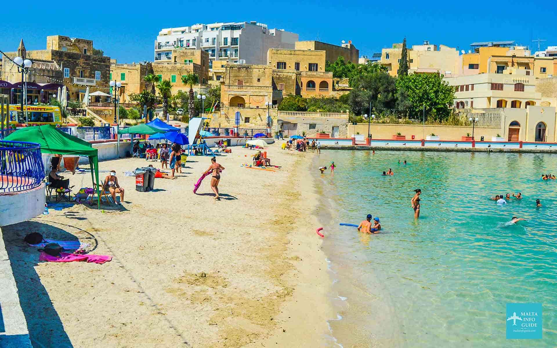 St George’s Bay urban beach
Salina Bay
What to expect: A small coastal bathing area beside Salina, between Qawra and the quieter northern coastline.
- Location: Limits of St. Paul's Bay
- To Bay: 212, 222, 225, N11, N212, TD13, X300 — use Salini bus stop
- From Valletta: TD13, X300
- To Valletta: TD13, X300
St. Thomas Bay
What to expect: A sheltered Marsaskala bay with a sandy section and extensive rocky areas for swimming.
- Location: Limits of Marsaskala
- To Bay: 91, 119, 124, 135, 204, N91 — use Bajja bus stop
- From Valletta: 91
- To Valletta: 91
St. George's Bay - St. Julians
What to expect: A popular urban sandy beach beside Paceville, surrounded by hotels, restaurants and nightlife.
- Location: St. Julian's
- To Bay: 13, 13A, 14, 16, 110, 202, 212, 222, 225, 233, N11, N13, N212, TD13 — use San Giljan or Ross bus stop
- From Valletta: 13, 13A, 14, 16, N13, TD13
- To Valletta: 13, 13A, 14, 16, N13, TD13
- Read more: St. George's Bay
Bugibba Perched Beach
What to expect: A sandy bathing beach on the Buġibba seafront, close to the promenade, restaurants and hotels.
- Location: Buġibba
- To Bay: 31, 45, 48, 186, 203, 212, 214, 221, 223, 280, N11, N212, N48 — use the Buġibba Bay bus stops
- From Valletta: 31, 45, 48
- To Valletta: 31, 45, 48
- Beach guide: Buġibba Perched Beach
Sandy Beaches - Gozo
Gozo’s sandy beaches include well-known bays, quieter coastal spots and more secluded beaches, with access varying from direct bus connections to routes involving some walking.
Marsalforn Bay
What to expect: A small beach in one of Gozo’s main seaside resorts, with restaurants and rocky swimming nearby.
- Location: Marsalforn
- To Bay: 310, 322 — use Marsalforn bus stop
- From Mġarr Harbour: 322
- To Mġarr Harbour: 322
- More about this area: Marsalforn Bay
Ramla Bay
What to expect: Gozo’s best-known red-sand beach, set within a broad natural valley on the island’s north side.
- Location: Between Xagħra and Nadur
- To Bay: 302, 322 — use Ramla bus stop
- From Mġarr Harbour: 322
- To Mġarr Harbour: 322
- Explore this beach: Ramla Bay
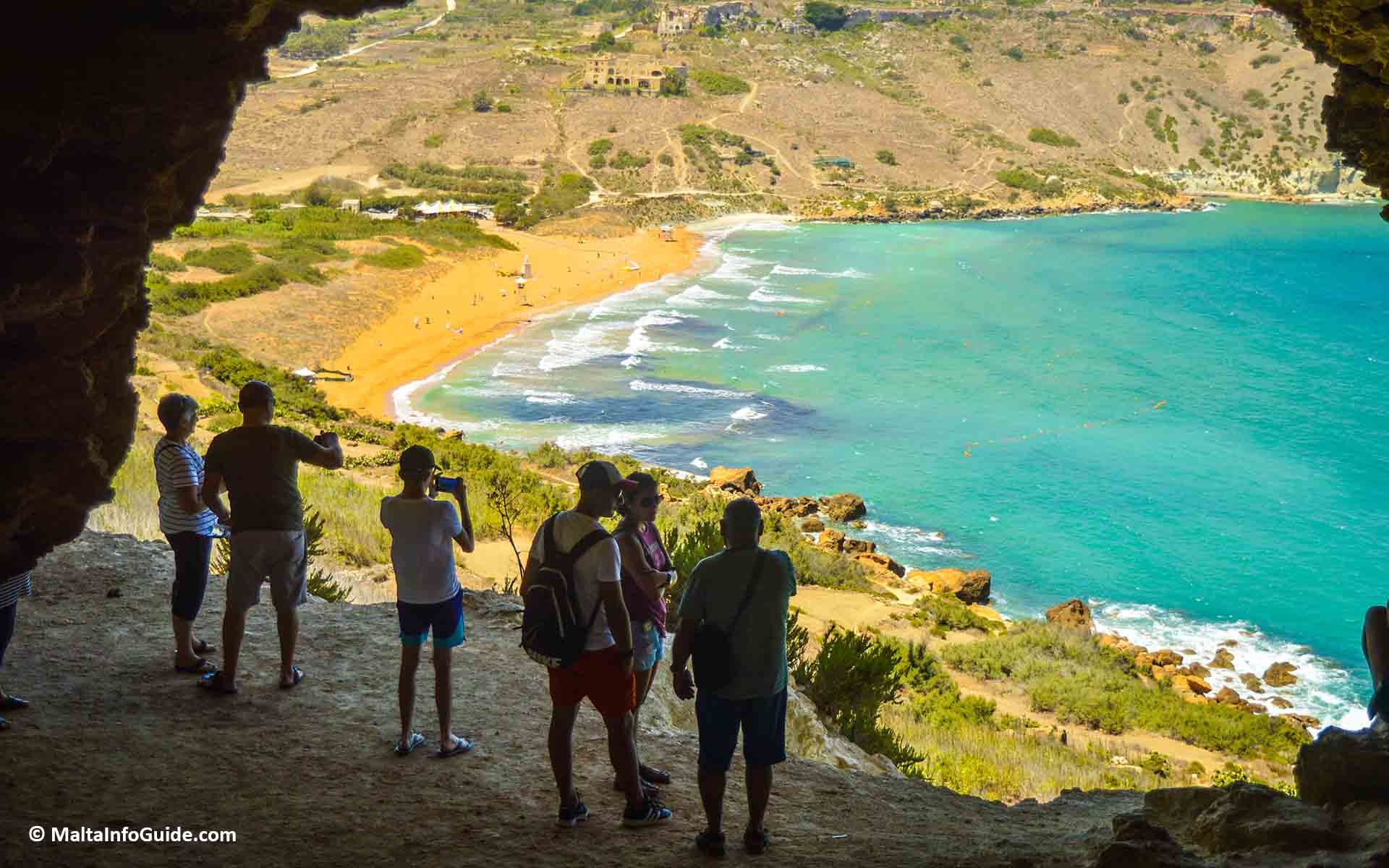 Ramla Bay red sand coastline from Mixta Cave
San Blas Bay
What to expect: A small secluded red-sand beach below Nadur, reached by a notably steep access road.
- Location: Limits of Nadur
- To Bay: 303 — use Blas bus stop, then continue on foot towards the bay.
- From Mġarr Harbour: 303
- To Mġarr Harbour: 303
Important: The final road to San Blas Bay is very steep and narrow, and you must complete the last section on foot.
Sandy Beaches - Comino
Comino has a small number of sandy swimming areas surrounded by clear water and rocky coastline. The island is reached by boat, with beaches explored mainly on foot.
You reach Comino by boat, then continue on foot to the island's beaches and swimming spots.
- Ramla tat-Torri Bay – A small, quiet coastal spot on Comino, away from the island’s busiest swimming area.
- Blue Lagoon – Comino’s famous turquoise swimming area, with a small sandy section beside the rocky shoreline. Read more: Blue Lagoon Malta
- Santa Marija Bay – A quieter sandy bay on Comino, offering a more relaxed alternative to the Blue Lagoon.
- St. Nicholas Bay – A small sheltered bay on Comino, generally quieter than the island’s main visitor areas.
Planning to visit the Blue Lagoon? A visitor booking system is currently in place, so check and reserve your access before travelling.
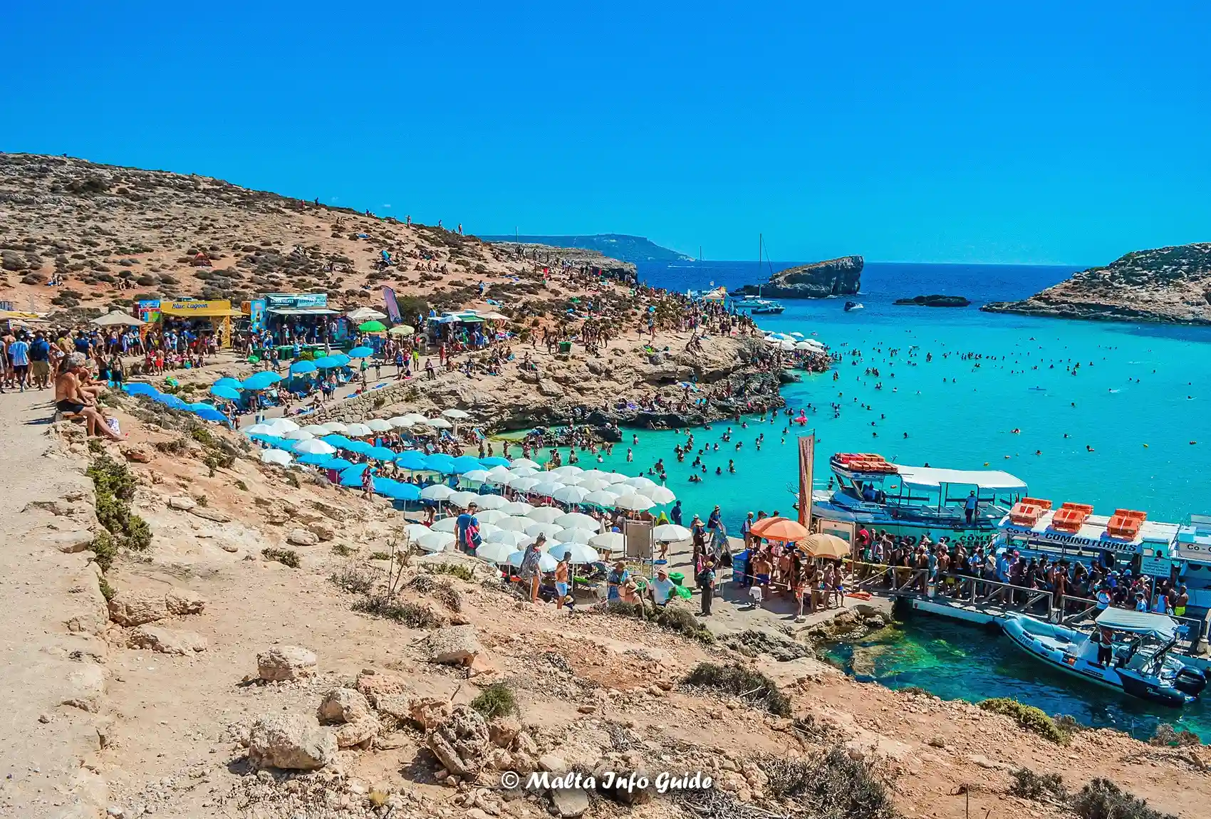 Blue Lagoon Comino turquoise waters
Rocky Beaches - Malta
Malta’s rocky beaches offer many places for swimming, from easily reached seafront areas near towns to quieter coves and natural pools with more challenging access.
For more information about designated bathing areas and where swimming is permitted, see our guide to Malta swimming zones.
Baħar iċ-Ċagħaq Coast
What to expect: A long rocky shoreline with open-sea swimming spots between the Qawra and Pembroke sides of the coast.
- Location: Baħar iċ-Ċagħaq
- To Bay: 13, 103, 212, 222, 225, N11, N212, TD13, X300 — use Caghaq bus stop
- From Valletta: 13, TD13, X300
- To Valletta: 13, TD13, X300
Delimara Point
What to expect: A rugged coastal area near Marsaxlokk with rocky shoreline and more remote places for swimming.
- Location: Limits of Marsaxlokk
- To Bay: 119 — use Delimara or Delimara 2 bus stop, then continue on foot towards the coast.
- From Valletta: Take 81 or 85 to Marsaxlokk, then change to 119 for Delimara.
- To Valletta: Take 119 to Marsaxlokk, then change to 81 or 85 for Valletta.
Dragonara Point
What to expect: A rocky swimming area beside St. Julian’s, close to Paceville but facing the open sea.
- Location: St. Julian's
- To Bay: 13, 13A, 14, 16, 110, 120, 121, 202, 212, 225, 233, N13, N120, N212, TD13 — use Ross bus stop, then walk towards Dragonara.
- From Valletta: 13, 13A, 14, 16, N13, TD13
- To Valletta: 13, 13A, 14, 16, N13, TD13
Għar Lapsi
What to expect: A small rocky inlet below Siġġiewi, popular for swimming, snorkelling and enjoying the clear water.
- Location: Limits of Siġġiewi
- To Bay: 109, 109A — use Lapsi bus stop
- From Valletta: Take 62 to Siġġiewi, then change to 109 or 109A for Għar Lapsi.
- To Valletta: Take 109 or 109A to Siġġiewi, then change to 62 for Valletta.
Ġnejna Bay Rocky Area
What to expect: The rocky sides of Ġnejna provide alternative swimming areas beside the central sandy beach.
- Location: Limits of Mġarr
- To Bay: 101 — summer service
- From Valletta: Take 44 to Mġarr, then change to 101 for Ġnejna Bay.
- To Valletta: Take 101 to Mġarr, then change to 44 for Valletta.
- Beach guide: Ġnejna Bay
Same beach and bus access as the sandy section. The center is sandy, with rocky swimming areas on both sides.
Marsaskala Bay
What to expect: A long sheltered harbour and seafront with several rocky places for swimming around Marsaskala.
- Location: Marsaskala
- To Bay: 91, 92, 93, 119, 124, 135, 191, 204, N91 — use Iskal bus stop
- From Valletta: 91, 92, 93, N91
- To Valletta: 91, 92, 93, N91
Marsaxlokk Bay - Rocky Area
What to expect: Rocky coastal areas around Marsaxlokk, separate from the two sandy swimming spots listed above.
- Location: Marsaxlokk
- To Bay: 81, 119, 210 — use Marsaxlokk bus stop
- From Valletta: 81
- To Valletta: 81
Mistra Bay
- Rocky Areas
What to expect: Rocky swimming areas sit alongside Mistra Bay’s smaller beach within the same sheltered coastal setting.
- Location: Mistra, near Xemxija
- To Bay: 41, 42, 49, 221, 222, 250 — use Mistra bus stop, then continue on foot towards the bay.
- From Valletta: 41, 42, 49, 250
- To Valletta: 41, 42, 49, 250
Qajjenza
What to expect: A quieter rocky stretch of coast between Birżebbuġa and Marsaxlokk, away from the main beaches.
- Location: Between Birżebbuġa and Marsaxlokk
- To Bay: 80, 85, 119, 210 — use Herakles bus stop
- From Valletta: 80, 85
- To Valletta: 80, 85
Sliema Sea Front
What to expect: A long urban rocky shoreline with popular swimming spots around Chalet, Għadir, Torri and Exiles.
- Location: Along the Sliema seafront, from the Gżira side through central Sliema, Exiles and Balluta towards St. Julian's.
- To Bay: 13, 13A, 14, 16, 110, 202, 212, 222, 225, 233, N13, N212 — use Chalet, Għadir, Torri or Exiles bus stop, depending on the part of the seafront you want to reach.
- From Valletta: 13, 13A, 14, 16, 21, TD13
- To Valletta: 13, 13A, 14, 16, 21, TD13
Buġibba & Qawra Rocky Coast
What to expect: A busy, rocky seafront with numerous swimming spots, including the flat-rock bathing area at Qawra Point.
- Location: Along the rocky coastline through Buġibba and Qawra, including Qawra Point. Buġibba has a bus terminal, making it the main transport interchange for this area.
- To Bay: Use the Buġibba and Qawra bus stops closest to the part of the coast you want to reach.
- From Valletta: 31, 45, 48, TD13
- To Valletta: 31, 45, 48, TD13
St. Paul’s Bay Rocky Coast
What to expect: A more residential rocky coastline west of Buġibba, stretching through St. Paul’s Bay towards Xemxija.
- Location: Along the older St. Paul’s Bay seafront, west of Buġibba towards Xemxija.
- To Bay: Use buses serving St. Paul’s Bay stops along the main coast road. Routes 31, 45, 48 and other northern services pass through the wider area.
- From Valletta: 31, 45, 48
- To Valletta: 31, 45, 48
St. Peter's Pool
What to expect: A natural rocky swimming spot near Delimara, known for its flat limestone surroundings and clear water.
- Location: Delimara, limits of Marsaxlokk
- To Bay: No bus reaches St. Peter’s Pool itself. Take 119 to Delimara or Delimara 2 bus stop, then continue on foot towards St. Peter’s Pool. Allow roughly 20–30 minutes for the walk. Alternatively, a taxi or ride-hailing service can take you closer to the St. Peter’s Pool access area, leaving a much shorter walk.
- From Valletta: Take 81 or 85 to Marsaxlokk, then change to 119 for Delimara.
- To Valletta: Take 119 to Marsaxlokk, then change to 81 or 85 for Valletta.
- Explore this swimming spot: St. Peter's Pool
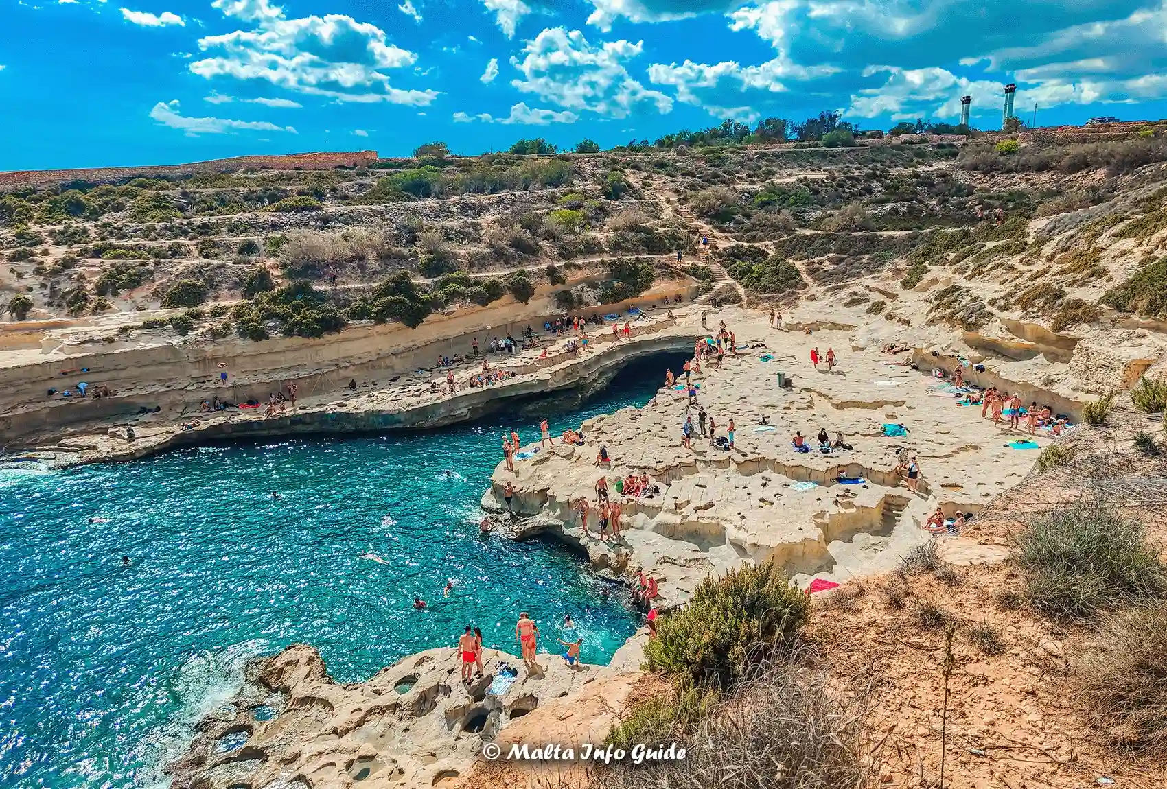 St Peter’s Pool rocky swimming
St. Thomas Bay - Rocky Areas
What to expect: Rocky swimming areas extend around St. Thomas Bay, while the sandy beach is listed separately above.
- Location: St. Thomas Bay, limits of Marsaskala
- To Bay: 91, 119, 124, 135, 204, N91 — use Bajja bus stop
- From Valletta: 91
- To Valletta: 91
Wied Iż-Żurrieq
What to expect: A rocky swimming inlet beside the Blue Grotto boat departure area, beneath the cliffs near Qrendi.
- Location: Wied iż-Żurrieq, Qrendi, close to the Blue Grotto boat area.
- To Bay: 74, 201 — use Grotto bus stop.
- From Valletta: 74
- To Valletta: 74
- Nearby guide: Blue Grotto Malta
Xrobb l-Għaġin Bay
What to expect: A remote natural peninsula near Marsaxlokk with rocky coastline, open views and quieter swimming areas.
- Location: Xrobb l-Għaġin, on the coast between Marsaxlokk and Marsaskala.
- To Bay: 81, 119, 210 — use Abdosir bus stop, then continue on foot towards Xrobb l-Għaġin. Alternatively, a taxi or ride-hailing service can take you much closer by road.
- From Valletta: 81
- To Valletta: 81
Żonqor Point to St. Thomas Bay Rocky Coast
What to expect: A long rocky stretch around Marsaskala, with swimming spots between Żonqor and St. Thomas Bay.
- Location: Along the rocky Marsaskala coastline, from Żonqor Point through the Marsaskala seafront towards St. Thomas Bay.
- To Bay: Use 92 for the Żonqor side, 91 for central Marsaskala, or 93 for the Jerma and St. Thomas side. Other local services also connect through Marsaskala.
- From Valletta: 91, 92, 93, N91
- To Valletta: 91, 92, 93, N91
Rocky Beaches - Gozo
Gozo has a varied rocky coastline with bays, narrow inlets and secluded swimming spots. Some are easy to reach by bus, while others require a bit more walking.
Daħlet Qorrot Bay
What to expect: A small secluded bay popular with local swimmers, with traditional boathouses built into the surrounding rock.
- Location: On Gozo’s north-eastern coast, between Nadur and Qala.
- To Bay: 303 — use Qorrot bus stop, then continue on foot towards Daħlet Qorrot.
- From Mġarr Harbour: 303
- To Mġarr Harbour: 303
- Explore this bay: Daħlet Qorrot Bay
Important: Route 303 does not go all the way down to the bay. From Qorrot bus stop, reaching Daħlet Qorrot involves a steep downhill walk, with a tiring uphill return. Alternatively, you can use a taxi or ride-hailing service such as Bolt, which can take you directly down to the bay.
One useful caution: getting a ride back from Daħlet Qorrot can sometimes be more difficult because it is a secluded area and mobile signal can be unreliable, so arranging the return in advance can be sensible.
Dwejra Bay
What to expect: A dramatic rocky coastal area featuring the Inland Sea, cliffs and distinctive natural scenery.
- Location: Dwejra, limits of San Lawrenz, on the western coast of Gozo.
- To Bay: 311 — use Dwejra bus stop.*
- From Mġarr Harbour: Take 301, 303 or 323 to Victoria, then change to 311 for Dwejra.
- To Mġarr Harbour: Take 311 to Victoria, then change to 301, 303 or 323 for Mġarr Harbour.
- More about this area: Dwejra Bay
Ħondoq ir-Rummien Bay
What to expect: A clear-water bay below Qala with a mixture of sand, pebbles and rocky swimming areas.
- Location: Below Qala, on the south-eastern coast of Gozo, overlooking Comino.
- To Bay: 303 — use Kuncizzjoni bus stop, then continue on foot towards the bay.
- From Mġarr Harbour: 303
- To Mġarr Harbour: 303
- Important: From Kuncizzjoni bus stop, allow around 15 minutes to walk down to the bay. The road continues directly to Ħondoq ir-Rummien, so you can also take a taxi or ride-hailing service if you prefer not to walk.
Marsalforn Bay - Rocky Areas
What to expect: Marsalforn has a small sandy beach and rocky swimming areas along the surrounding coastline; the sandy beach is listed above.
- Location: Around Marsalforn Bay and along the surrounding seafront on Gozo’s north coast.
- To Bay: 310, 322 — use Marsalforn bus stop.
- From Mġarr Harbour: 322
- To Mġarr Harbour: 322
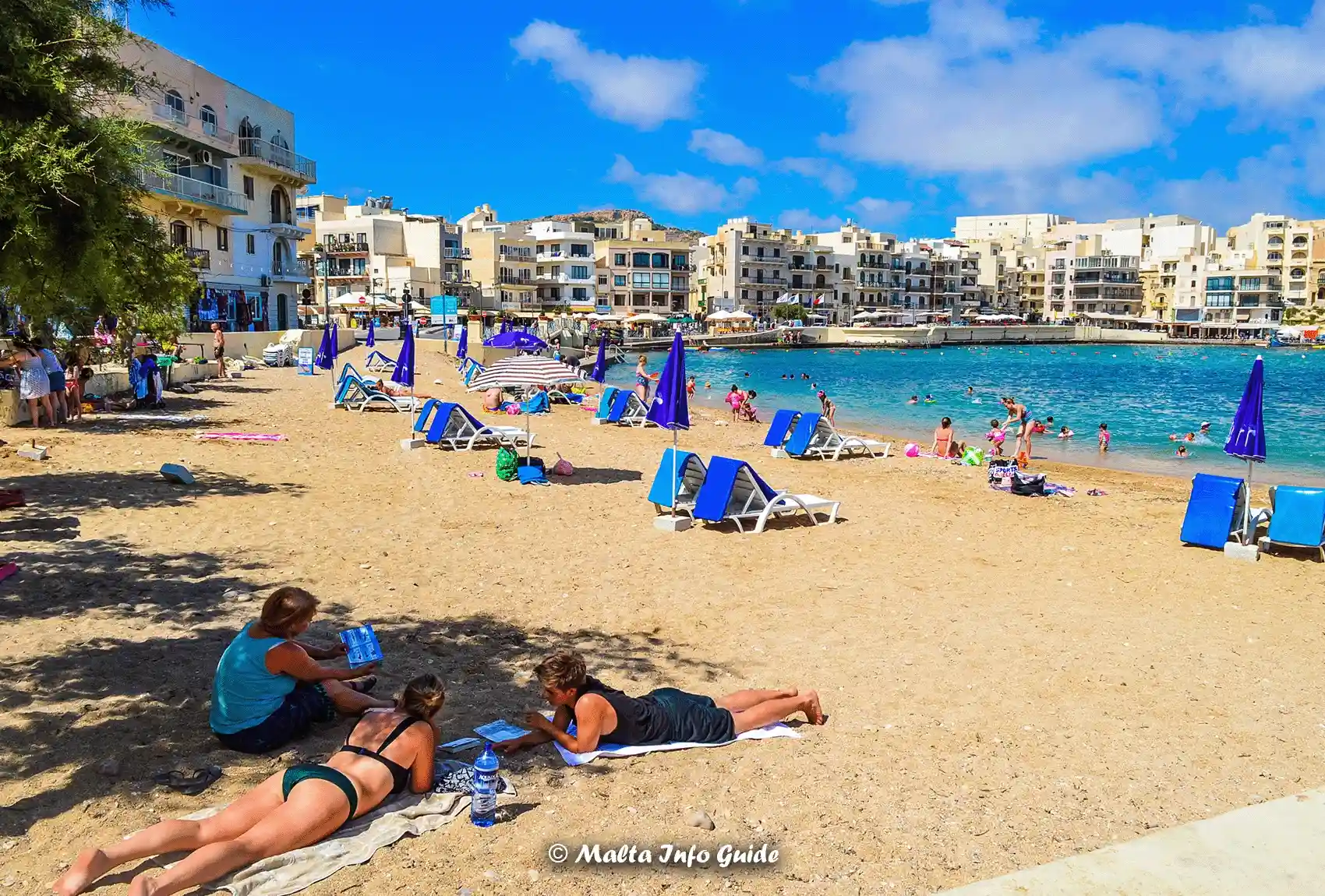 Marsalforn Bay sandy village beach
Qbajjar Bay
What to expect: A quieter coastal bay just beyond Marsalforn, with rocky swimming areas along Gozo’s northern shoreline.
- Location: Just west of Marsalforn, between Marsalforn and Xwejni Bay.
- To Bay: 310 — use Qbajjar bus stop.
- From Mġarr Harbour: Take 322 to Marsalforn, then change to 310 for Qbajjar.
- To Mġarr Harbour: Take 310 to Marsalforn, then change to 322 for Mġarr Harbour.
Mġarr ix-Xini
What to expect: A secluded pebbly bay set within a steep-sided natural valley on Gozo’s southern coast.
- Location: On Gozo’s southern coast, below Xewkija and Sannat.
- To Bay: There is no direct public bus to Mġarr ix-Xini Bay. Take 301 or 303 to Xewkija, then continue towards the bay.
- From Mġarr Harbour: Take 301 or 303 to Xewkija, then continue by taxi, ride-hailing service or on foot.
- To Mġarr Harbour: Return to Xewkija, then take 301 or 303 towards Mġarr Harbour.
Important: Mġarr ix-Xini is reached by a narrow, winding road down to the bay. Walking from Xewkija is a substantial journey, so a taxi or ride-hailing service is the easier option for most visitors without a car.
Wied il-Għasri
What to expect: A narrow secluded inlet reached by steps, with a tiny pebbly beach between steep cliffs.
- Location: On Gozo’s north coast, below Għasri and Żebbuġ, in a narrow rocky inlet.
- To Bay: 309 — use Onici bus stop, then continue on foot towards Wied il-Għasri.
- From Mġarr Harbour: Take 301, 303 or 323 to Victoria, then change to 309 for Onici.
- To Mġarr Harbour: Take 309 to Victoria, then change to 301, 303 or 323 for Mġarr Harbour.
Important: From Onici, allow about 15–20 minutes to walk to the inlet. Access to the small beach itself then involves descending a staircase cut into the rock.
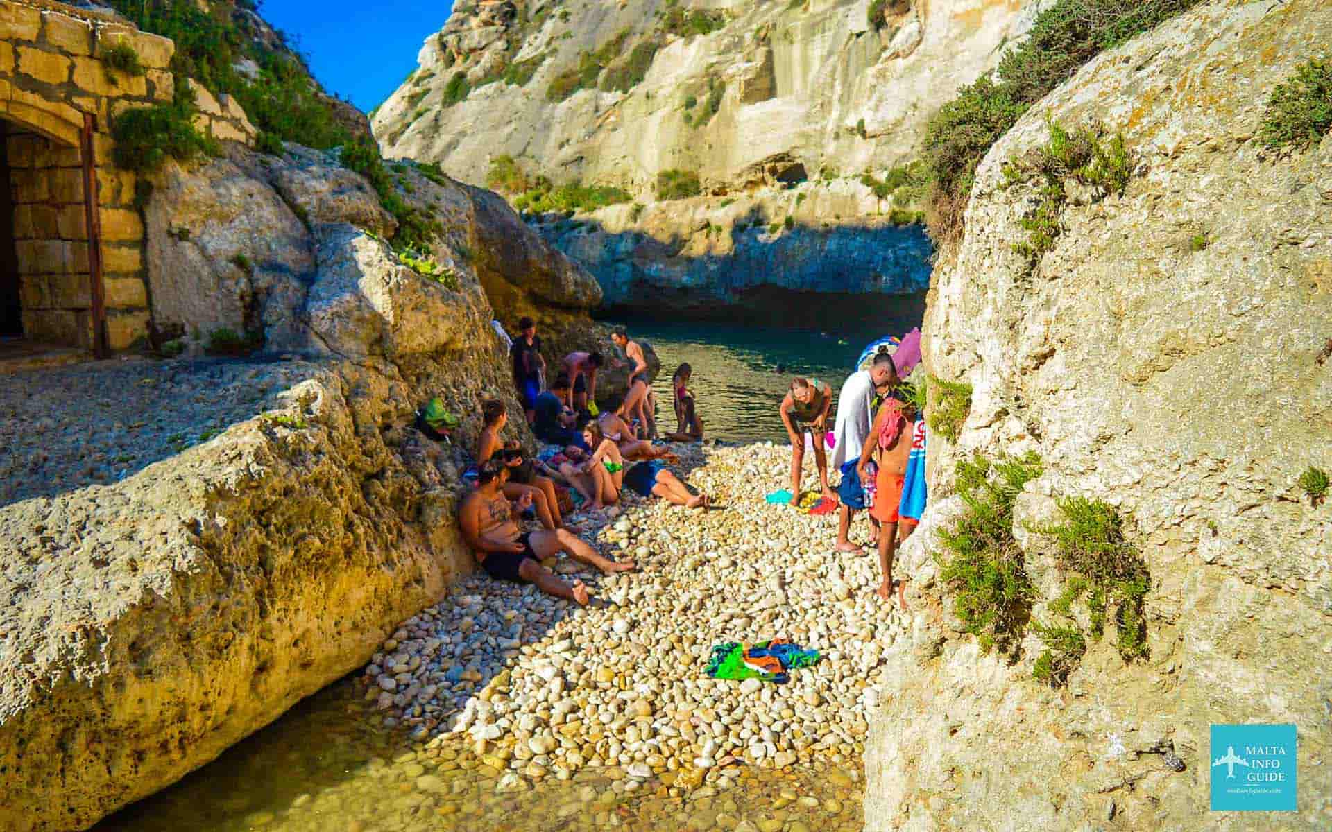 Secluded Wied il-Għasri rocky inlet
Xlendi Bay
What to expect: A small sandy and pebbly beach with rocky swimming areas around the sheltered bay.
- Location: Xlendi, with a small sandy beach and rocky swimming areas around the bay.
- To Bay: 306, 330 — use Xlendi bus stop
- From Mġarr Harbour: Take 301, 303 or 323 to Victoria, then change to 306 or 330 for Xlendi.
- To Mġarr Harbour: Take 306 or 330 to Victoria, then change to 301, 303 or 323 for Mġarr Harbour.
- More about this area: Xlendi Bay
Frequently Asked Questions About Malta Beach Buses
Which Malta beaches can I reach directly by bus?
Which Malta beaches can I reach directly by bus?
Several popular beaches have bus stops nearby, including Mellieħa Bay, Golden Bay, Għajn Tuffieħa, Paradise Bay and Pretty Bay. More remote swimming spots may require walking after leaving the bus.
Which bus goes to Golden Bay and Għajn Tuffieħa?
Which bus goes to Golden Bay and Għajn Tuffieħa?
Routes 44, 101, 223 and 225 serve the Għajn Tuffieħa and Golden Bay area. From Valletta, Route 44 is the simplest direct option.
Can I reach St. Peter's Pool by bus?
Can I reach St. Peter's Pool by bus?
No bus goes directly to St. Peter's Pool. Route 119 serves the Delimara area, after which you need to continue on foot. A taxi or ride-hailing service can reduce the walking distance.
Can I get to Malta's beaches without renting a car?
Can I get to Malta's beaches without renting a car?
Yes. Many of Malta's most popular beaches are accessible by public bus. More remote bays may involve a bus transfer, walking or a taxi for the final part of the journey.
Should I check the bus timetable before going to the beach?
Should I check the bus timetable before going to the beach?
Yes. Routes, timetables and temporary diversions can change, so check the Malta Public Transport Journey Planner before travelling.

Disclaimer — We may earn a commission if you book via certain links on the website. No extra cost to you.
🎉 What’s On In Malta?
Updated for September • Local picks
Discover events, village feasts, fireworks, festivals and seasonal things to do this September.
📅 See What’s Happening This September ⛪ Malta Village Feasts 🌞 Things To Do In Malta 🗓️ Events By Month❤️ Enjoying Malta Info Guide?
If our free local guides made planning your Malta trip easier, you can say thanks with a small beer.
Written by two locals. Always free.

✈️ Planning your Malta trip?
✈️ Flights to Malta
Compare airlines and find the best prices today.
Check today’s cheapest flights →🏨 Hotels in Malta
Find available rooms, trusted stays and good locations for your Malta trip.
See available hotels this week →🚗 Car Rental in Malta
Compare prices, pick-up points and car options before you book.
Compare car rental prices →Planning London too?
Discover where to stay, what to do, and when to visit London.
Explore London Guide →Recent Articles


-
Christmas Pantos in Malta 2026/27 - Dates, Venues & Tickets
Sep 14, 26 12:07 PM
Find Christmas pantos in Malta and Gozo for 2026/27, with confirmed dates, venues, language, age guidance, booking status and official ticket links. -
Dog Friendly Beaches Malta & Gozo: 16 Official Locations
Sep 13, 26 04:09 AM
Find the 16 official dog friendly beaches in Malta and Gozo, plus the rules on where dogs can swim and what owners need to know before visiting. -
Xlendi Bay Gozo: Local Guide to Swimming, Beach & Tips
Sep 11, 26 03:26 PM
Local guide to Xlendi Bay in Gozo, with advice on swimming, the small beach, restaurants, parking, buses, summer crowds and who Xlendi suits best.