- Home
- Malta Island
- Where Is Malta
Where is Malta located in europe?
A Small Country In The Middle Of The Mediterranean Sea
Where is Malta located? There is no doubt that Malta is still relatively unknown, which is why many people ask this question!
Our island lies in the centre of the Mediterranean Sea and is the most southern of all the countries in Europe. This puts us midway between Gibraltar and Alexandria, and between Sicily and North Africa. To put it into perspective, we are closer to Europe than Africa.
What You Need to Know About Where Malta is located
- Where is Malta in the World Map?
- Interactive Map of Malta
- How Big is Malta and Gozo
- 10 Quick Facts About Malta
- How Malta's Location Played An Important Role
- Questions You Might Ask Yourself About Our Islands
Where is Malta on the World Map?
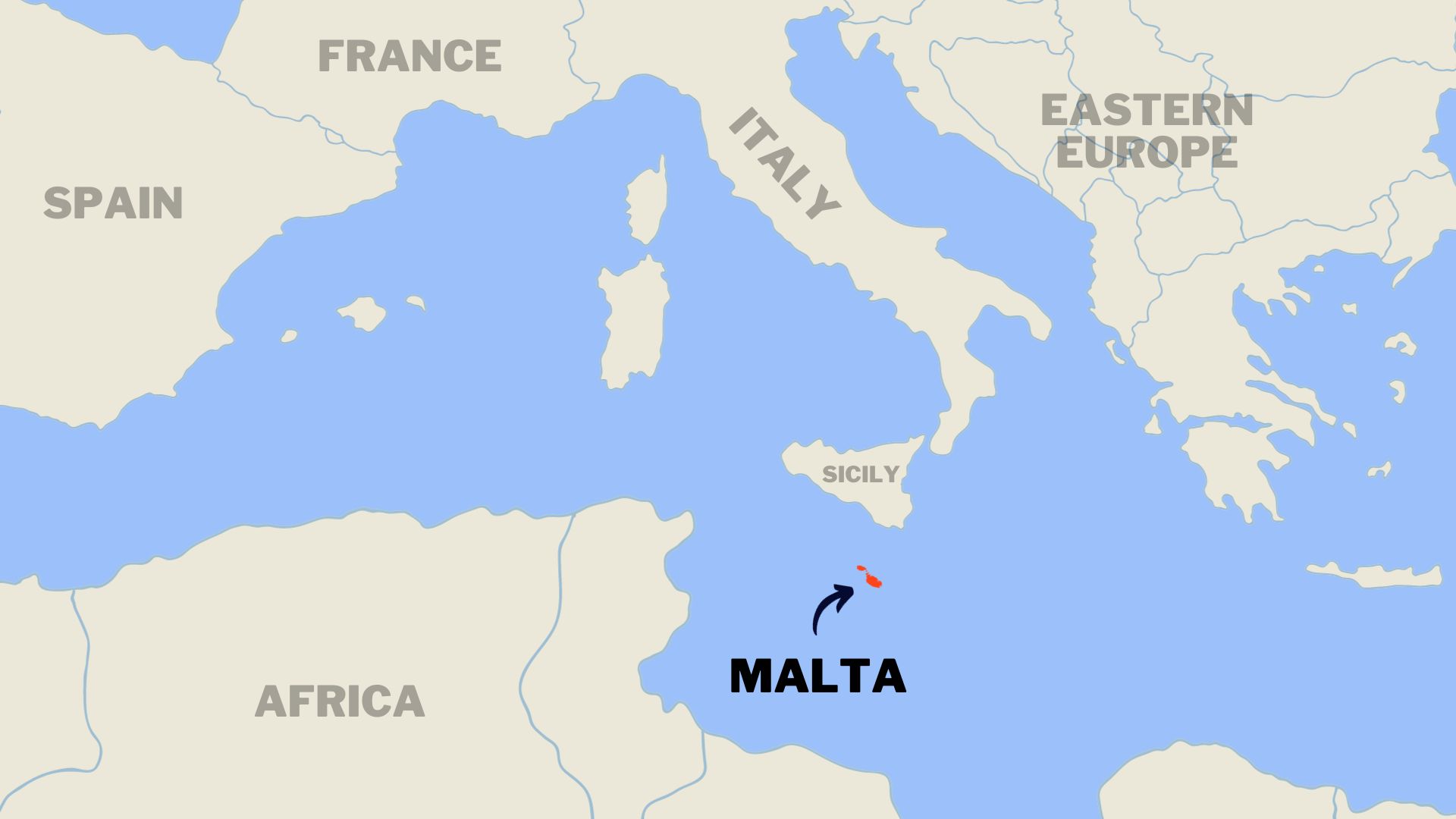 Location of the Maltese Islands Within The Mediterranean Sea
Coordinates and Distances To Other Countries
Where is Malta located geographically?
The exact coordinates of both islands are featured below.
Coordinates for Malta:
The following coordinates fall in the centre of the island just outside Mosta, close to Bidnija.
- Latitude: 35.917973
- Longitude: 14.409943
Coordinates for Gozo:
The following coordinates fall in the centre of Gozo just outside Victoria (Rabat).
- Latitude: 36.044300
- Longitude: 14.251222
Being that Malta is an isolated island in the heart of the Mediterranean sea, below are some distances to relative countries to get a perspective of where we are on the world map.
- South Sicily: 93 kilometres (57 miles).
- North of Libyan Coast: 320 kilometres (198 miles).
- North of Libya: 290 kilometres (180 miles).
- Gibraltar: in the far-western Mediterranean is 1,826 kilometres (1,134 miles) away.
- Port Said in Egypt: is 1,510 kilometres (1,926 miles) to the east.
Interactive Map of Malta
Below is an interactive map provided by Google where you can use it to have a better understanding of Where Malta is and also discover what lies around the islands. Use the arrows to zoom in or out and also hold the left button of your mouse on the map to move around. You can also click the 'View Larger Map' if you would like to see the map on a larger scale. This will open a new tab and send you to Google Maps.
how big is malta, gozo and Comino?
The Maltese islands are comprised of three main islands, Malta, Gozo and Comino.
- The length of the whole Maltese archipelago is 45 kilometres (27 miles). It's total land area is 316 square kilometres (122 square miles).
Island of Malta
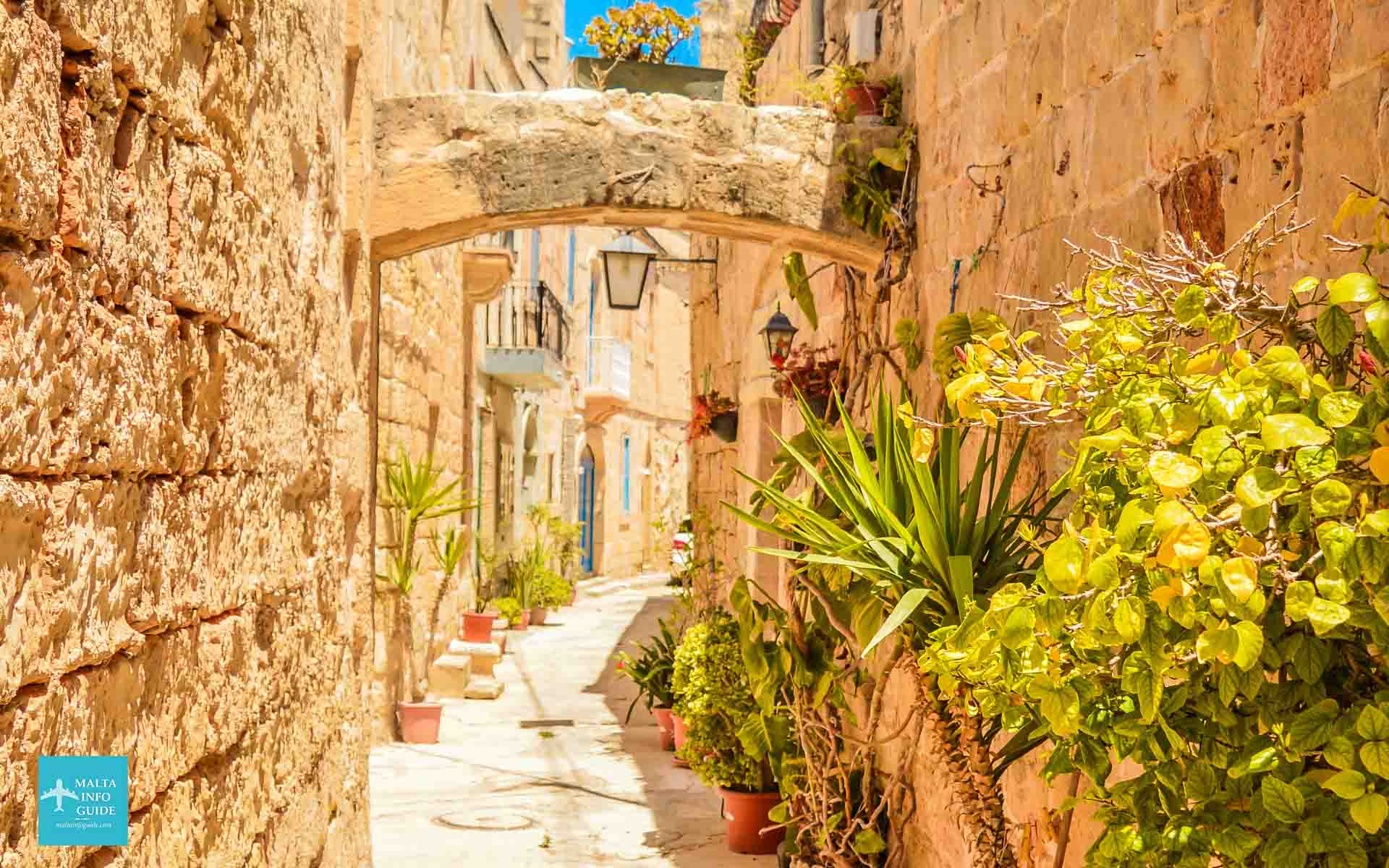 The Old Area of the Village of Zejtun
Malta is the largest island out of the three where the majority of the population resides. Although compact in size, it serves as a cultural, economic and administrative hub. Its capital city, Valletta, is a UNESCO World Heritage site, renowned for its rich history and stunning architecture.
- Length: 28 kilometres (17 miles)
- Width: 14.5 kilometres (9 miles)
- Shoreline: 196.8 kilometres (122 miles)
- Area: 246 km square (95 square miles)
Island of Gozo
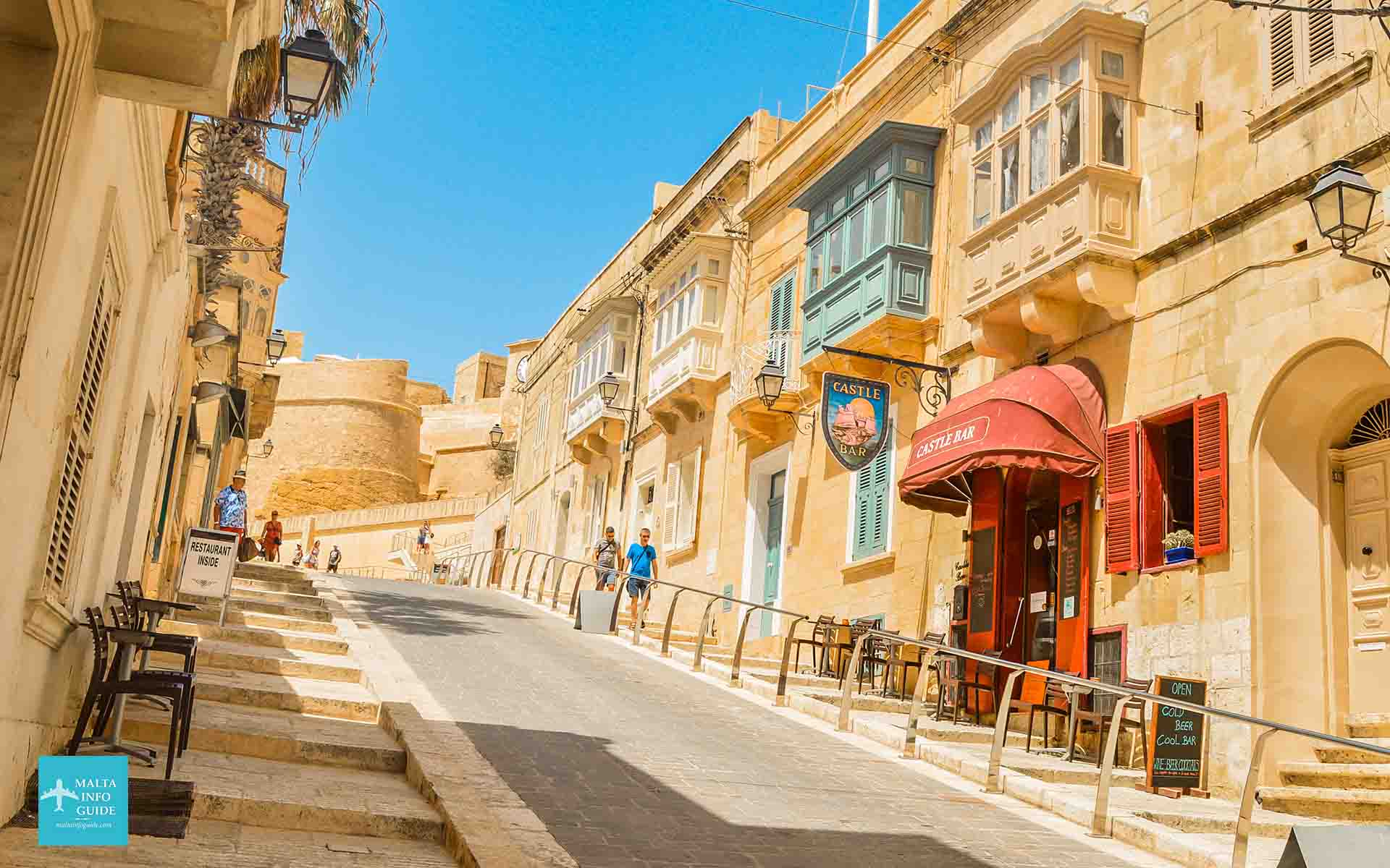 Charming Streets Leading To The Citadel
Malta's sister island, Gozo, is the second largest in the archipelago. This island is mostly known for it tranquil and beautiful scenery as it is more rural than the main island. Its capital city is Victoria and the island is also home to some charming villages. A historical structure, Ggantija Temples, one of the world’s oldest freestanding structures and a UNESCO World Heritage site, adding historical significance to its natural beauty.
- Length: 14.5 kilometres (9 miles)
- Width: 7.2 kilometres (4.5 miles)
- Shoreline: 56 kilometres (35 miles)
- Area: 67.1 square kilometres (26 square miles)
Island of Comino
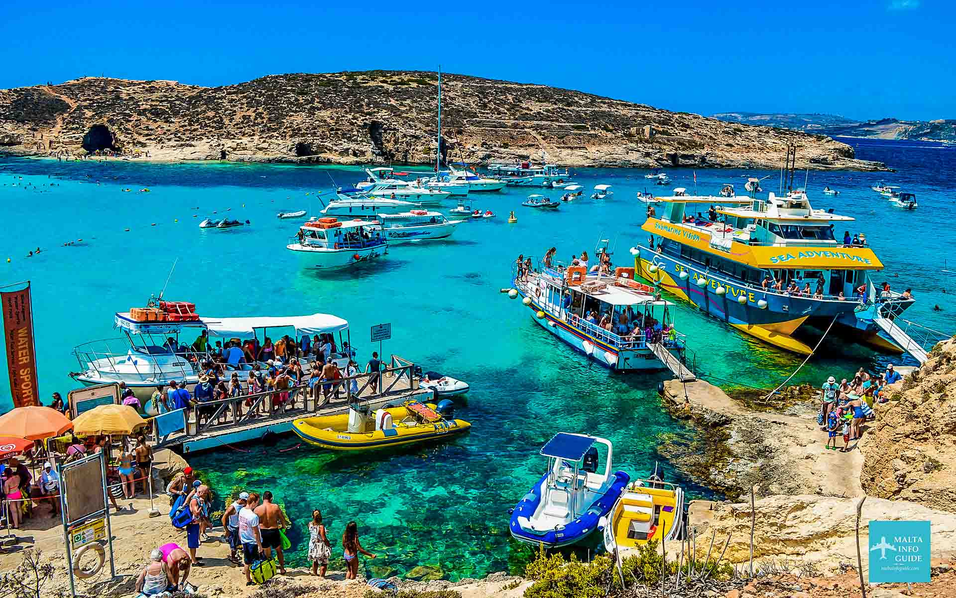 Blue Lagoon in Comino
Comino is the third-largest island in the Maltese archipelago and it is also considered a major attraction thanks to the world famous Blue Lagoon. The crystal-clear waters, rugged landscapes and serene atmosphere captivated thousands of tourists and locals on a yearly basis to enjoy swimming, snorkelling and also relaxation.
- Length: 2 kilometres (1.2 miles)
- Width: 1.7 kilometres (1.1 miles)
- Shoreline: 9.5 kilometres (5.9 miles)
- Area: 3.5 square kilometres (1.4 square miles)
other surrounding islands of malta
- St. Paul’s Islands has an area of 0.101 square kilometres.
- Cominotto covers 0.1 square kilometres.
- Filfla covers 0.02 square kilometres.
- Fungus Rock in Gozo covers 0.007 square kilometres.
Related Article: Read More About the Size of The Maltese Archipelago
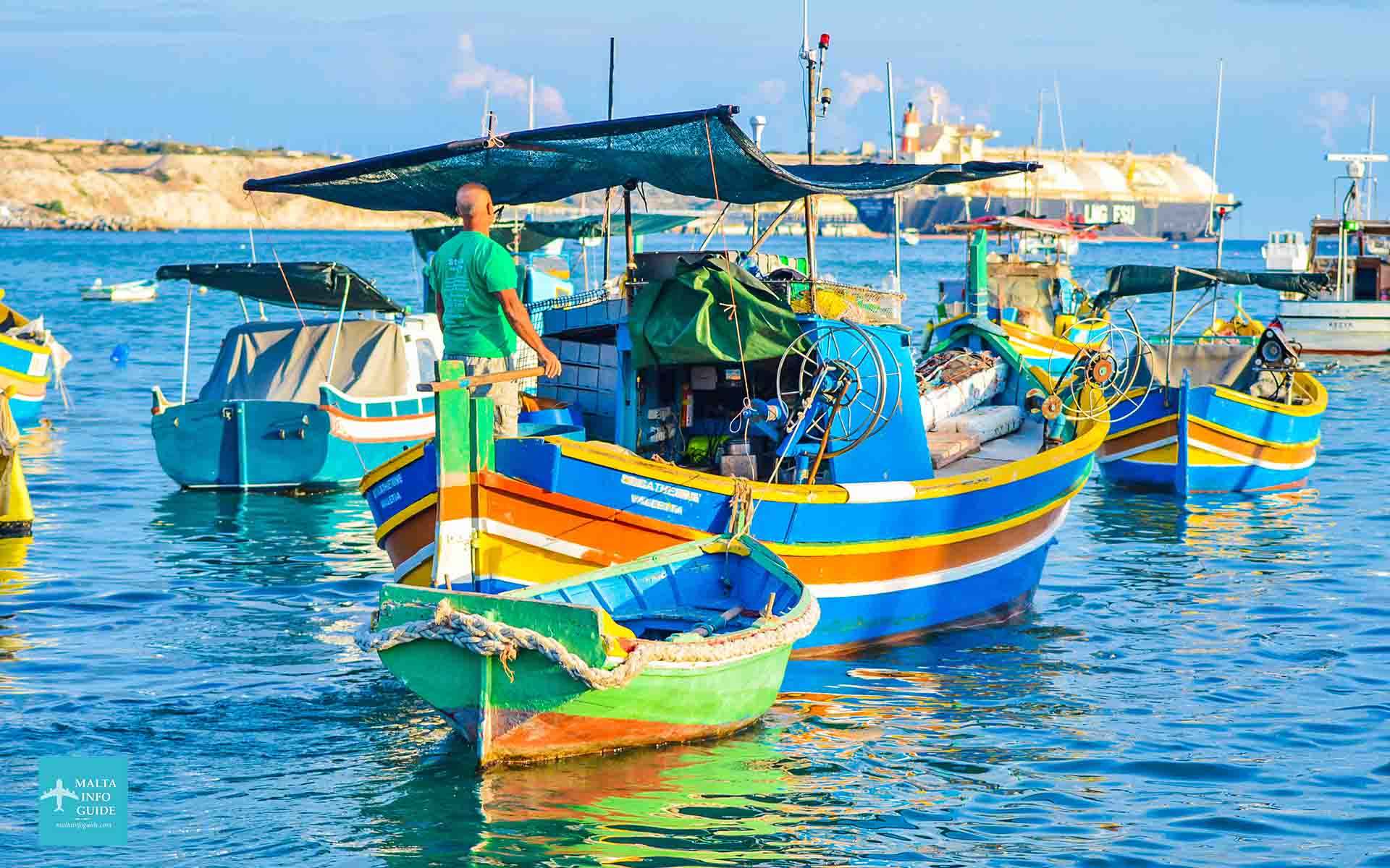 A Traditional Fishing Boat in Marsaxlokk
10 Quick Facts That Make Malta's Location Special
- Malta has 300 days of sunshine a year.
- The island of Malta is surrounded by the sea.
- Our small island contains 5000 years of history.
- Malta is home to one of the oldest temples in the world.
- Malta has one of the best diving sites in the world.
- Cars drive on the left-hand side.
- It is one of Europe’s smallest and most densely populated countries.
- An island with over 2.5 million visitors per year.
- A sought-after retirement destination.
- An independent republic country with its own parliament and constitution.
Essential Facts About Malta for Visitors
- Malta Time Zone - GMT+2
- Capital of Malta - Valletta
- Population of Malta - 563,443 up to end of 2023
- Malta Island Language - Maltese and English
- Currency in Malta - Euros (€)
- Electricity - 220 - 240 volts AC (50Hz)
- Airport in Malta - Malta International Airport
- Emergency Number - 112
Related Page: See more interesting facts about malta
Malta's Location | The Crossroads Through Time
Malta's archipelago is situated on the Malta plateau, a shallow shelf that was formed by a land bridge that once connected Sicily and North Africa. Following the last ice age, rising sea levels caused this bridge to submerge, resulting in Malta's isolation in the Mediterranean.
Malta has been inhabited since people arrived here from Sicily around 5200 BC. The islands were always a location for great strategic importance as a naval base for shipping. Through the years until 1530, Malta was conquered by the Phoenicians, Carthaginians, the Romans, Byzantines, the Moors, the Arabs, Normans, the Aragonese and the Spanish.
Between 1530 and 1798 the Knights of St. John occupied Malta and built Valletta, the current capital city of Malta. During their period in Malta, the Great Siege happened in 1565 against the Ottoman Empire (Turkish).
In 1798, Napolean Bonaparte captured Malta on its way to Egypt. Their reign remained active till 1800 when the British Empire set foot on the island.
During the British Era, the location of the island sparked a serious of events leading Malta as a main entity in several world history moments such as World War 1 and World War 2.
Today, since Malta's independence in 1964 and it's Republic in 1974, the location of Malta has not stopped us from being in the spotlight for several great things such as tourism, trade, and international business.
Read Further: A Detailed History of Malta Timeline (5200BC to Present)
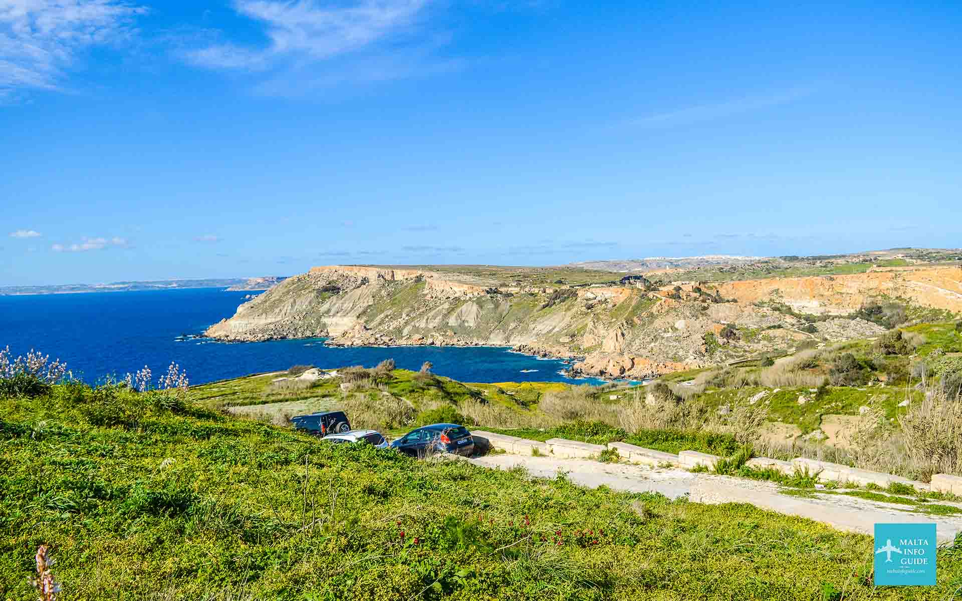 Bahrija Countryside Malta
Malta no matter the size of the island, it keeps attracting visitors from all over the world due to its fascinating geography, rich history and beauty around every corner. The position of the island holds a great significance to us Maltese and we feel proud in welcoming new people to explore a different side of the world.
Questions About The Maltese Islands
How Big is Malta?
How Big is Malta?
The total land area of all the Maltese archipelago is 316 square kilometres (122 square miles). Check our full guide the size of Malta.
What is Malta's Geology made of?
What is Malta's Geology made of?
If we look at it from the geological side, Malta is formed up entirely of composed sedimentary rocks. These are sediments which were formed about 30 to 5 million years ago. This means that there were continuous deposits of materials within the Mediterranean Sea.
Where is Malta close to?
Where is Malta close to?
Malta is located just under Sicily, which makes it the closest piece of land outside the Maltese islands. It is only 93 kilometers (57 miles) away.
Is Gozo in Malta?
Is Gozo in Malta?
No, Gozo is a separate island as it is geographically part of the Maltese Islands. You can reach by a 20-minute ferry crossing from Cirkewwa Malta to Mgarr Gozo.
Is Malta a country?
Is Malta a country?
Our island is a country identified with its own government, constitution and parliament house which governs the country independently.
Is Malta part of England?
Is Malta part of England?
No, Malta is an independent country since 1964 and became a Republic in 1974. Malta became a British Crown Colony in 1814 until 1964, meaning 150 years under British rule.
How big is Malta compared to other islands?
How big is Malta compared to other islands?
You can compare the size of our islands with the following islands: Malta 316 | Antigua 281 | Barbuda 431 | Maldives 298 | Sri Lanka 314 | U.S. Virgin Islands 346 - These numbers are in Kilometers Square
Is Malta part of Spain or Italy?
Is Malta part of Spain or Italy?
Malta is not part of Spain or Italy as it is an independent country.
Where is Malta Illinois?
Where is Malta Illinois?
Malta Illinois is a village in DeKalb County, Illinois, United States.
Is Malta part of Greece?
Is Malta part of Greece?
No, Malta is not part of Greece, and it never was.
Where Is Valletta In Malta?
Where Is Valletta In Malta?
Valletta is on the north-east side of the island. Valletta is the capital city of Malta. A fortified city, 455 years old.
Is Malta an Arab country?
Is Malta an Arab country?
No, Malta is not an Arab country, but the Arabs stayed in Malta from 87 to 1091 AD.
References
🏨 Find the Best Places to Stay Nearby
This fantastic interactive map below helps you discover the best accommodation across the island from a variety of trusted platforms. Explore different areas, compare prices, and book directly all in one place.
🚗 Need a car for your Trip to Malta?
Discovering the beauty of this gem in the Mediterranean by car is certainly the best way to experience its hidden beaches, charming villages, and also hidden paths that are difficult to reach by public transport.
Find The Best Rates On Your Car Rental Now!
 By Albert and Benjamin Magro


